
Page 28 - ar2019_en
P. 28
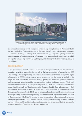
Figure 13 – A Snapshot of the Amination Video for the Proposed Amendments of
                           Building Height Restriction to the Draft Causeway Bay Outline Zoning Plan


            The system functionality is well recognised by the Hong Kong Institute of Planners (HKIP),

            and was awarded the Certificate of Merit in the HKIP Awards 2018.  The system is considered
            as a powerful planning and design tool for scenario testing and planning/design assessments
            with the support of various geospatial information in an integrated web-based platform, which
            also signifies a major step forward in applying digital technology to facilitate urban planning in
            Hong Kong.


            Looking Ahead


            In the years ahead, we will continue to explore making use of the latest innovation and
            technology to achieve smart planning, as well as the long-term vision of smart city and SGR

            City Strategy.  More importantly, we need to promote the development of a proper digital
            infrastructure or CSDI initiative to gear up the government and the society as a whole in the
            longer run with convenient, easy access to high quality and up-to-date spatial information,

            applications and spatially-enabled services to face various challenges ahead.  With built
            environment applications as an integrated component of CSDI, the Department has embarked
            on the feasibility study on ‘Development of a Common Spatial Data Infrastructure – Built
            Environment Application Platform’ in March 2018.  The Study aims to formulate an overall
            development framework for the BEAP and to recommend applications with prototypes focusing

            on city planning, infrastructure/engineering, and environmental aspects to facilitate the work
            of the government.  The BEAP is targeted to foster co-operation, collaboration and co-creation
            among the government, and in a wider context and longer term among business, academia

            and the pubic to enable application/information sharing and better use of limited resources by
            providing a number of common and thematic applications.


     25     Focus